Articoli

GEO-K is partner of ɸ-Sat-2! The ESA Artificial Intelligence Earth Observation Mission

Following yesterday’s successful launch of ɸ-sat-1 (Europe’s first artificial intelligence Earth observation mission) plans are already underway for the next innovative state-of-the-art technology, ɸ-sat-2. It will demonstrate the capabilities of artificial intelligence (AI) technology for Earth observation. The use of these technologies will lead to new ways of collecting, distributing and analysing data about our planet.

GEO-K, as part of a consortium from six different European countries leded by Open Cosmos, developed an innovative solution for ɸ-sat-2 that has been selected as the winning idea by a panel of ESA experts. Find details on our contribution in projects section

Our  ɸ-sat-2 proposal involves an Earth observation 6U CubeSat platform capable of running AI apps that can be developed, easily installed, validated and operated on the spacecraft during their flight using a simple user interface.

Besides GEO-K, the consortium includes CGI, Ubotica, Simera CH Innovative, CEiiA and KP Labs.

Find more on ESA website.
GEO-K supports ESA for Sentinel-2 data calibration using drones

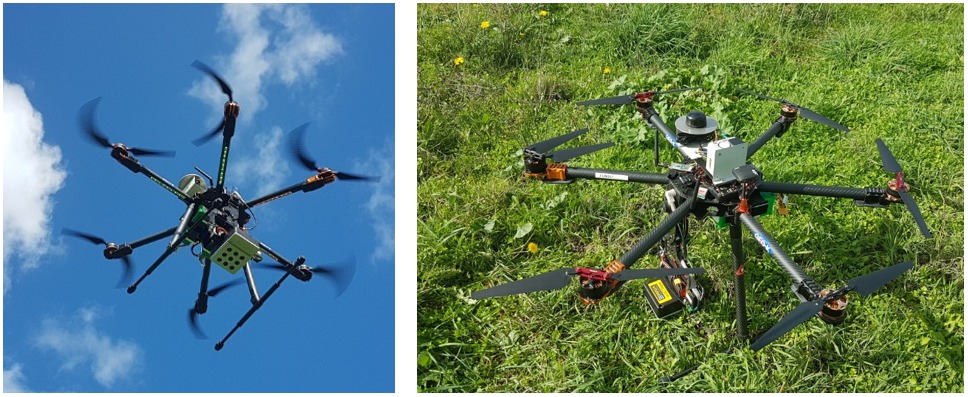
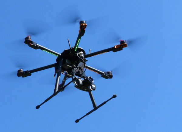
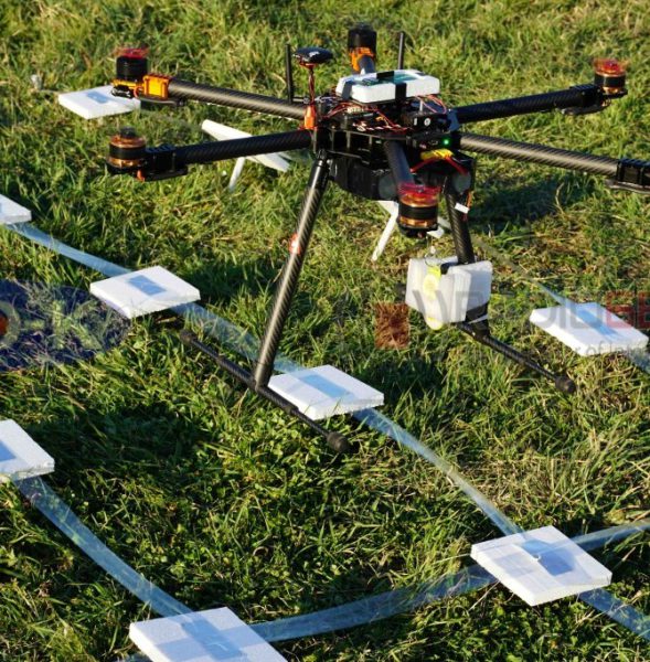
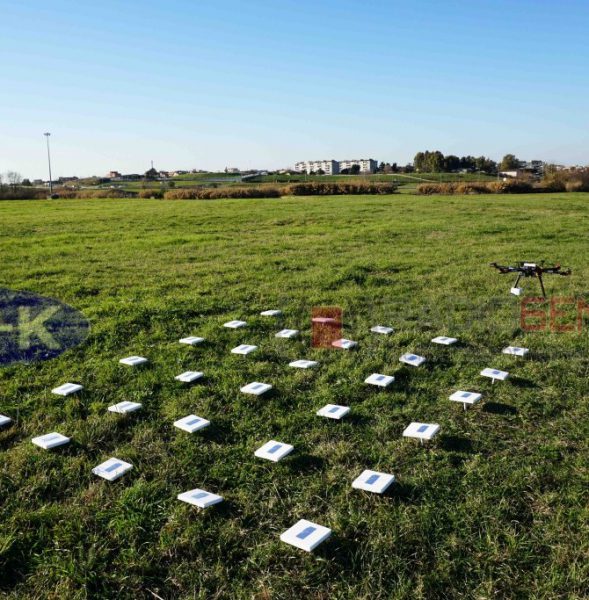
Our UAV equipped with MAIA multispectral sensor and ILS (Incident Light Sensor) flew on 26-11-2020 at 10:03 UTC over selected test site, overlapping exactly the passage of Sentinel-2 satellite. The UAV altitude was of 90 m with a GSD of about 5 cm and a FOV of 60 m × 45 m.

The flight has been carried out in the contex of QA4EO ESA project which aims to tackle the challenges associated to surface reflectance and BRDF validation using advanced UAV-based techniques.

New flights and data elaboration are scheduled in the next months.

drone brdf sensors

World Meteorological Day 2017

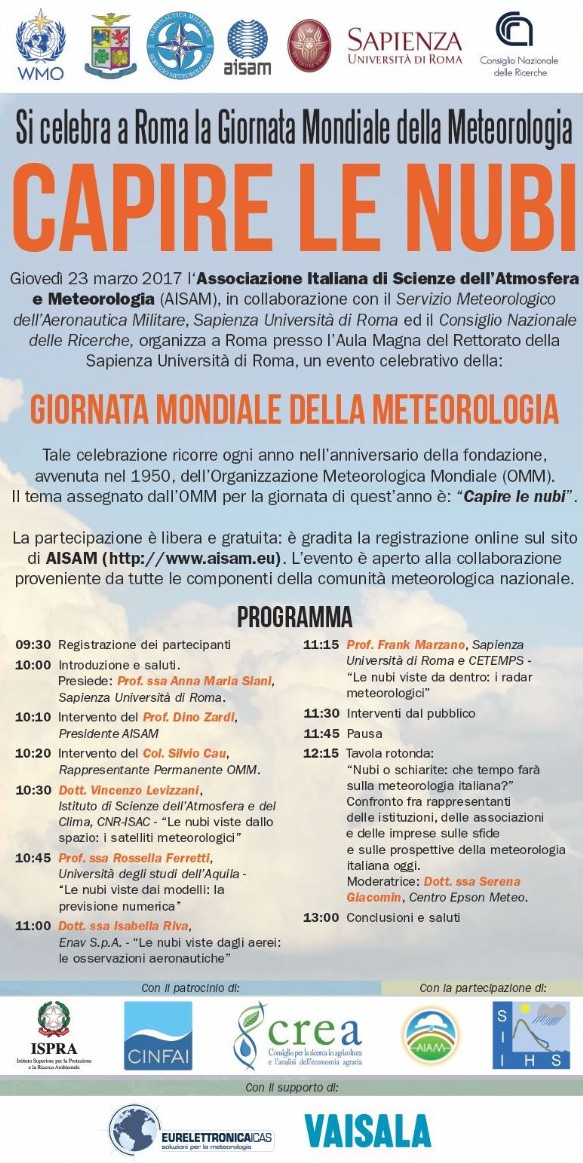
GEO-K will participate in the celebration of the World Meteorological Day (GMM2017) to be held Thursday, March 23 at the Aula Magna del rettorato of the Sapienza University in Rome.

The event is organized by the Italian Association of Atmospheric Sciences and Meteorology (AISAM) in collaboration with the Meteorological Service of the Italian Air Force, Sapienza University of Rome and the National Research Council.

The occasion will be useful to address and explore, together with industry experts and representatives of government and institutions, some of the main meteorological topics such as  the understanding of clouds.
The reports presented are aimed to broadly involve students and anyone with an interest on meteorological topics.
The Day also provides an opportunity to discuss the state of Meteorology in Italy.
It is an important moment for Italian meteorology: the recent success in the assignment to Italy of the European Centre for Medium-Range Weather Forecasts (ECMWF) provides tremendous opportunities for the revival of the entire sector in Italy.

The event will be broadcast LIVE “streaming” on:
https://www.youtube.com/watch?v=fjjA1a91naE

Participation is free: You are kindly requested to registrate on aisam.eu.

ROMA METEO CAPITALE – First WeatherDay in Rome

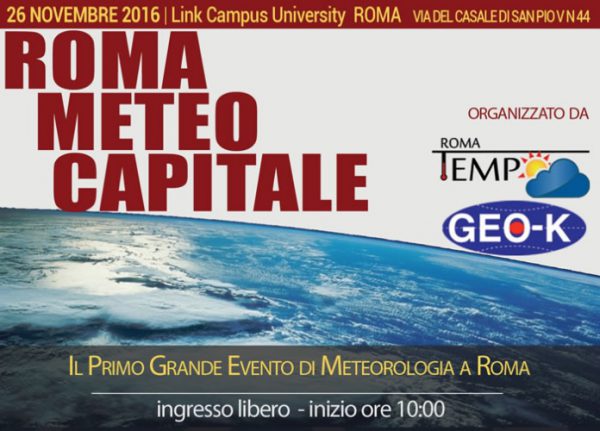
A first for Rome: on 26th Novembre 2016, the first Convention dedicated to the Meteorology in Rome will take place at the Link Campus University.

ROMA METEO CAPITALE, organized by GEO-K and Tempo Roma, will be a free and open access divulgation event focused on the sharing of knowledge of this science, thanks to the participation of main actors of Italian meteorology and climatology. DIVULGATION is the key-item for ROMA METEO CAPITALE!

Keynote speaker of the event will be Paolo Sottocorona, expert meteorologist on Italian Channel La7.

Main partners of the event are:
Datameteo, Lombard & Marozzini s.r.l, Link Campus University

Find the event poster at this link.

GEO-K meets the IEEE President, Barry L. Shoop

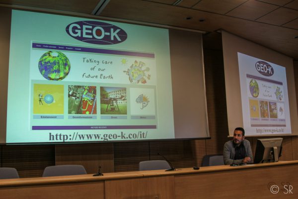
An interesting appointment together with other interesting enterprises: that’s what had occurred at GEO-K, September, 27th, participating in a workshop with Barry L. Shoop, IEEE president, at the Faculty of Engineer at the University of Rome Tor Vergata.

The IEEE vision: “To be essential to the global technical community and to technical professionals everywhere, and to be universally recognized for the contributions of technology and of technical professionals in improving global conditions”. For this, in addition to a good turnout of students and researchers, Shoop had accepted to meet the innovation groups and people of the Faculty: GEO-K, the first spin-off of Tor Vergata, is between them.

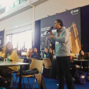
Speaker: Daniele Latini, Ph.D. and pilot of GEO-K’s drones.

(photo by Simona Ranieri)

GEO-K is recognized by ENAC for critic scenario operations

Monitoring flying operations with GEO-K drones. Not only uninhabited areas but also critic ones (e.g. urban areas, streets, etc).
GEO-K drones can fly over buildings to monitor architectural and artistic heritage, but also to measure electromagnetic fields and building structures.

The ENAC authorization (Rif.ENAC: 5315) has permitted to complete all the procedures to operate in different scenarios, thanks to GEO-K’s authorized pilots.

Contacts:
apr@geo-k.co
Ph. +39 06 7259 7734-7711
———————————–
GEO-K Srl, APR Division
Via del Politecnico, 1 00133 – Roma – Italy

GEO-K 10th Anniversary!

On April 11th of 10 years ago GEO-K, the first spin-off of the University of Roma Tor Vergata, was founded. Merging academic background with trade necessities and dynamics had never been easy but we still are here, gained 10-years-standing experience and ready to afford the next 10-years adventure with the same excited enthusiasm as we started.

Happy Anniversary GEO-K!


Thales Alenia Space Italia chooses GEO-K technology for SAR data analysis

Thales Alenia Space Italia chooses GEO-K to realize new platforms for COSMO-SkyMed SAR data analysis.

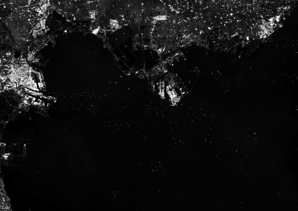
The agreement signed on 22 March 2016 requires the creation of a first suite for automatic analysis application for oil spills, ship survey, coastline extraction and land cover classification. All of this will be detected by neural network technology developed by GEO-K over the past years.

Both GEO-K and TAS-I wish the just-signed agreement may be renewed in view of new potential available with COSMO Second Generation Data.


RFIDrone: when a drone reads radiofrequency

The partnership between GEO-K and RADIO6ENSE aims to build up a system that exploits the paradigm of radiofrequency identification (RFID) and the potentialities of Unmanned Aerial Vehicles (UAV).

The RFIDrone project will be developed considering two main approaches: the first, named DroneReader, consists of a UAV hexacopter able to carry out autonomous missions in which the data transmitted by RFID are collected and used for creating thematic maps or for characterizing the object under analysis.  The second, named DroneTAG, consists of a UAV acting as a RFID, becoming itself a TAG with autonomous re-locating capabilities. In both cases, the system offers revolutionary potentials in the monitoring of structures pre- or post-event (bridges, buildings, dams), precision farming applications, surveillance, and logistics.