First Picture from space of new Genoa Bridge

On 29 April 2020 the Italian SAR satellite constellation COSMO-SkyMed, promoted and funded by Italian Space Agency (ASI), acquired the first picture from space of the new bridge of Genoa (IT) after the collapse of Morandi Bridge the 14th of August 2018. Space assets and the continuous improvments of remote sensing techniques and data processing, could be of crucial support for infrastructures monitoring and characterization. (Image Rights: COSMO-SkyMed©ASI, 2020, processed and distributed by e-GEOS)
Read More on globalscience.it

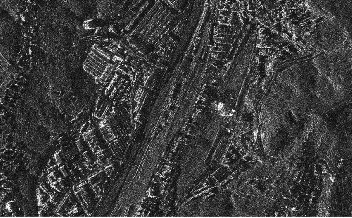
COSMO-SkyMed of collapsed Morandi bridge

Morandi bridge from COSMO-SkyMed Spotlight mode during demolition stage post-collapse. Sensing date: 2019-03-19 at 05:10:43 UTC.
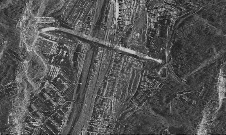
COSMO-SkyMed of new Genoa bridge

New Genoa bridge from COSMO-SkyMed Spotlight mode. Sensing date: 2020-04-29 at 17:26:44 UTC.


RFIDrone: when a drone reads radiofrequency

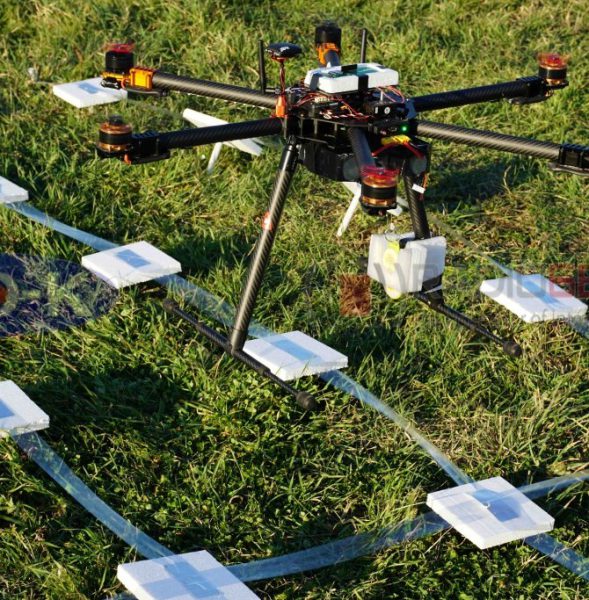
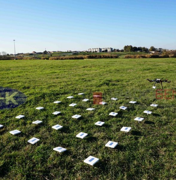
The partnership between GEO-K and RADIO6ENSE aims to build up a system that exploits the paradigm of radiofrequency identification (RFID) and the potentialities of Unmanned Aerial Vehicles (UAV).

The RFIDrone project will be developed considering two main approaches: the first, named DroneReader, consists of a UAV hexacopter able to carry out autonomous missions in which the data transmitted by RFID are collected and used for creating thematic maps or for characterizing the object under analysis.  The second, named DroneTAG, consists of a UAV acting as a RFID, becoming itself a TAG with autonomous re-locating capabilities. In both cases, the system offers revolutionary potentials in the monitoring of structures pre- or post-event (bridges, buildings, dams), precision farming applications, surveillance, and logistics.