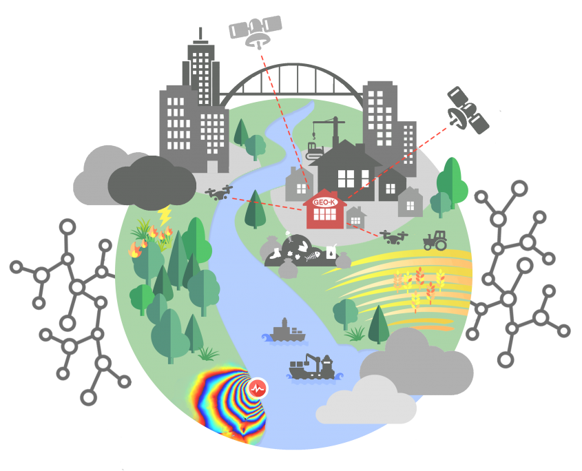
Transforming Data into GEOscience Knowledge
We connect research, education and service development to provide advanced solutions for companies and public sector by exploiting the most advanced data sources and cutting-edge algorithms.
Remote Sensing
Drones

Artificial Intelligence

Education
![]()
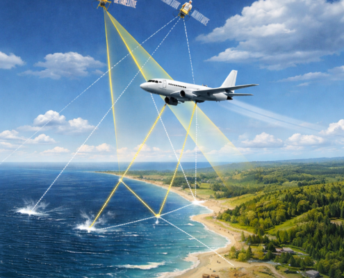
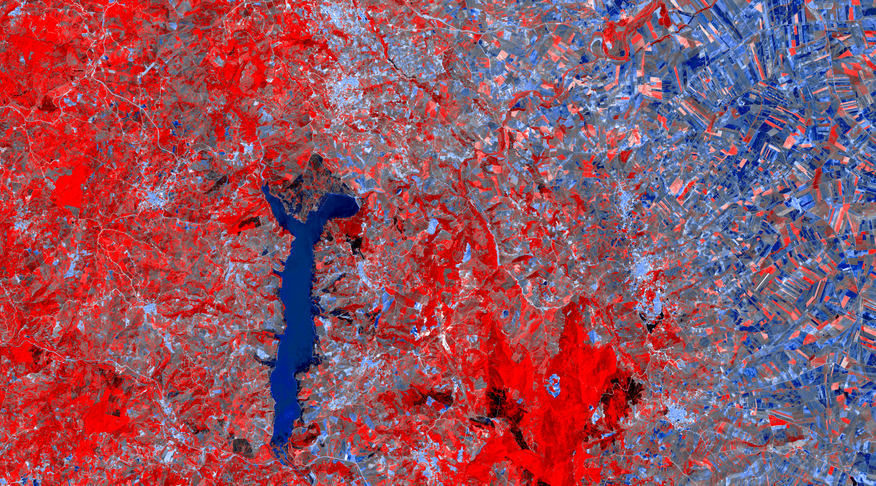
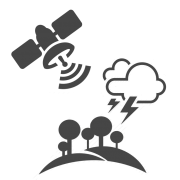
GEO-K elaborates EO data for creating added value products useful for environmental monitoring. Following the evolution of remote sensing missions and sensors on spaceborn, airborn, drone and ground platforms, we perform state of art R&D activities for challenging and innovative analysis.
![]()
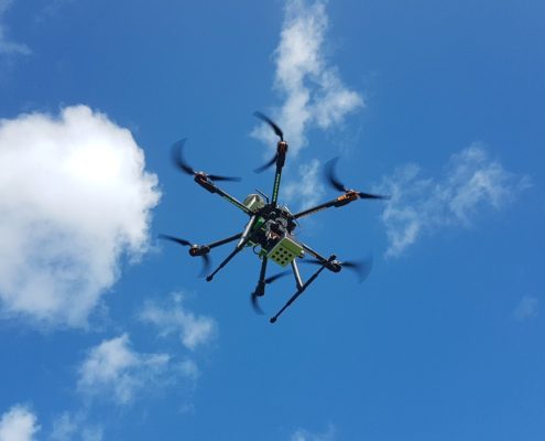
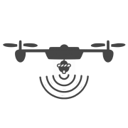
Drone platforms allow advanced and precious data collection for analysis and integration never addressed yet. GEO-K designs and develops innovative drone-based applications for small-scale and high-resolution surveys. Our pilots are recognized by ENAC as drone operator for critical missions.
![]()
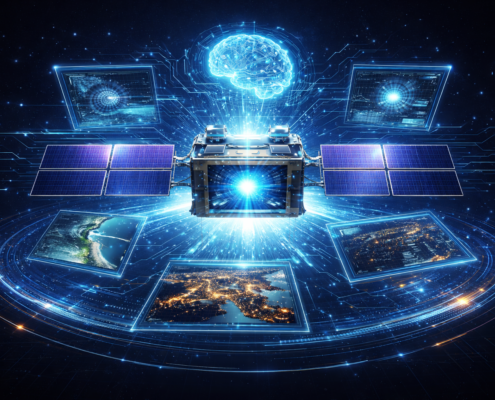
GEO-K has a consolidated experience in developing algorithms for EO based on Neural Networks. Take advantage of the massive processing capabilities and the ability of deriving hidden relationship in your dataset, also evaluating the integration of AI in your current methodologies.
![]()
Born as the first spin–off of the University of Rome “Tor Vergata”, GEO-K keeps its roots promoting education and formation courses in geoscience, the use of drones and neural network techniques.