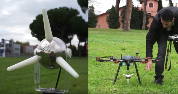
DronEM (Drone for Electromagnetic fields Measurements)
The collaboration between GEO-K and MPB Group allowed the design and implementation of a novel technique for 3D measurement and mapping of Electro-Magnetic field distribution.
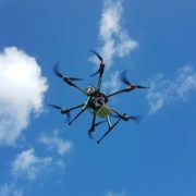
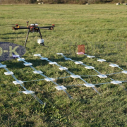
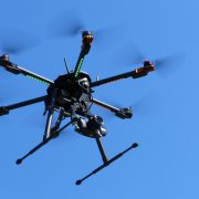
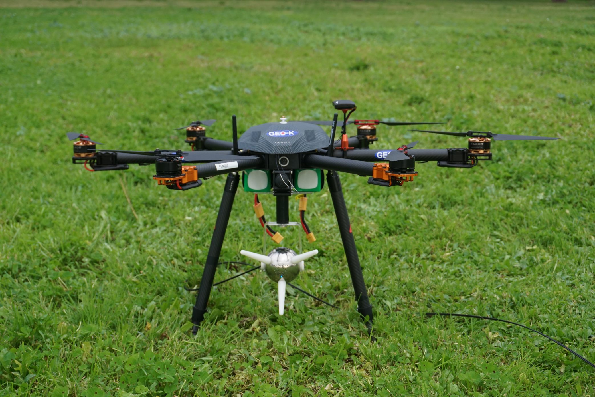
DronEM permits the estimation of EM pollution and the creation of pollution maps, as well as the verification of signal quality and cover. The system consists of a Drone equipped with a Selective Electric Triaxial Probe (SEP) and is able to scan the electromagnetic spectrum between 10 MHz and 3 GHz, till 200 m altitudes.
This UAV+SEP technique allows a precise monitoring activity and the possibility to plan automatic missions at different flight heights with high accuracy.
Check the design activities here
Check the validation activities here