Articoli

GEO-K is partner of ɸ-Sat-2! The ESA Artificial Intelligence Earth Observation Mission

Following yesterday’s successful launch of ɸ-sat-1 (Europe’s first artificial intelligence Earth observation mission) plans are already underway for the next innovative state-of-the-art technology, ɸ-sat-2. It will demonstrate the capabilities of artificial intelligence (AI) technology for Earth observation. The use of these technologies will lead to new ways of collecting, distributing and analysing data about our planet.

GEO-K, as part of a consortium from six different European countries leded by Open Cosmos, developed an innovative solution for ɸ-sat-2 that has been selected as the winning idea by a panel of ESA experts. Find details on our contribution in projects section

Our  ɸ-sat-2 proposal involves an Earth observation 6U CubeSat platform capable of running AI apps that can be developed, easily installed, validated and operated on the spacecraft during their flight using a simple user interface.

Besides GEO-K, the consortium includes CGI, Ubotica, Simera CH Innovative, CEiiA and KP Labs.

Find more on ESA website.

GEO-K supports ESA for Sentinel-2 data calibration using drones

Our UAV equipped with MAIA multispectral sensor and ILS (Incident Light Sensor) flew on 26-11-2020 at 10:03 UTC over selected test site, overlapping exactly the passage of Sentinel-2 satellite. The UAV altitude was of 90 m with a GSD of about 5 cm and a FOV of 60 m × 45 m.

The flight has been carried out in the contex of QA4EO ESA project which aims to tackle the challenges associated to surface reflectance and BRDF validation using advanced UAV-based techniques.

New flights and data elaboration are scheduled in the next months.

drone brdf sensors

EUMETSAT & CNR with GEO-K united by an Algorithm

On 20 of May 2016, at the EUMETSAT Headquarters in Darmstadt, Germany, GEO-K signed a new contract for a study about cloud detection over sea ice using the “Sea and Land Surface Temperature Radiometer” (SLSTR) instrument aboard on Sentinel 3 satellite.

Sea ice is typically present on polar oceans of the planet and has a crucial role on climate. Therefore, monitoring its morphological structure, its changes and its temperature is important to have a clear picture of the actual and future climate state.

To do these kind of observations at best, it is important that the satellite view is completely free of clouds, then it becomes necessary an algorithm that can distinguish a white brilliant cloud from an ice surface also white and shiny. GEO-K, in collaboration with ISAC-CNR (Italian Institute of Atmospheric Science and Climate) as subcontractor, will supply such an algorithm.

The people involved in this project are: Massimiliano Sist (GEO-K), Lia Santoleri (ISAC-CNR) and Gianluigi Liberti (ISAC-CNR).


GEO-K takes part to the study for super-classification of multispectral data

GEO-K participates to the study for the super-classification of Landsat Multispectral products. The study will be published on the IEEE Journal of Selected Topics in Applied Earth Observation and Remote Sensing in the next period.

What is super-classification?

With it, we consider the ability to discriminate the different “materials” that form a single pixel signal. Often these materials are different and composite on the Earth’s surface. With this approach, we can ultimately increase the capability of satellite instruments in terms of spatial resolution.

The methodology proposed by GEO-K and the Earth Observation Laboratory of the University of Rome Tor Vergata is based on advanced techniques exploiting Neural Networks.

The first results obtained by the team were presented at the URBAN 2015 Remote Sensing Joint Event in Losanna, Switzerland.

URBANFLUXES at Rome 2015 Science Symposium on Climate

GEO-K took part at the Rome 2015 Science Symposium on Climate poster session, on November 19-20, with a contribution to URBANFLUXES project.

The recently launched Horizon 2020 project URBANFLUXES investigates the potential of EO to retrieve urban energy budget components, focusing on the anthropogenic heat flux. The main challenge of this project is the innovative exploitation of the Copernicus Sentinels synergistic observations to estimate local scale spatio-temporal patterns of the anthropogenic heat emission in cities. These EO-based spatially disaggregated estimations contain valuable information for both the urban planning and the Earth System Science community.


EO Lab in Tor Vergata and ESA Bic Lazio will create the Italian FabSpace

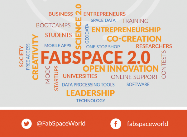
The Fab Space 2.0 project (led by the French university Toulouse III Paul Sabatier) was approved under the Horizon 2020 program: 3,5 million euros to create innovative and space-oriented fab labs in 6 European countries.

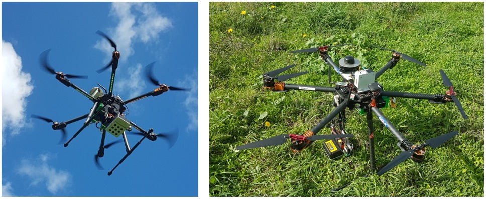
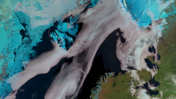
Universities are the protagonists and in particular those of France, Italy, Belgium, Germany, Poland, Greece. They will become (even more) centers for innovation. According to the project partners, Fab Space 2.0 will concentrate in a single territorial area of ​​research and innovation also the decisive contributions for a strong socio-economic and environmental effect: innovation guided by geo-information data, mainly derived from Earth observation space missions.

Universities must adopt the new role of innovation co-creators in the context of Science 2.0. They must realize the future scenario in which open data come into play in a creative environment: there, the developers who come from civil society, industry and academic research, public and territorial administrators can meet, work together and co-create new tools and new business applications.
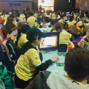
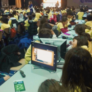
So here is the new type of fab lab: the FabSpaces. They will be a key point in which to find large varieties of data (including ‘spatial’ data) and free tools for data processing and software, all for designing new applications. A real innovation realized thanks to the knowledge of data. The link between universities, industries, public administration and civil society will be reinforced by local and European initiatives for application development. Around 1,500 European students and researchers are expected to use FabSpaces.


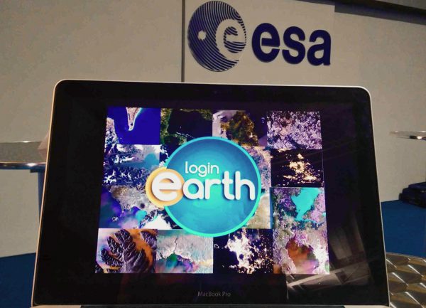
In Italy, the protagonists are the ESA BIC Lazio incubator and the EO LAB – the Tor Vergata Earth Observation Laboratory.
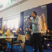
The laboratory of the University of Rome Tor Vergata, with the coordination of Professor Fabio Del Frate of DICII – Department of Civil Engineering and Computer Engineering, will be responsible for the creation of real and virtual laboratories that will use the latest web technologies for both training and technology transfer in the fields of geoinformation and Earth Observation, all in close connection with the progress of scientific research.

The financing of the project (356 thousand € will go to Tor Vergata / EO Lab) – says Fabio Del Frate – is a source of great satisfaction because it enhances the activities of our University and our Department especially in the field of Earth Observation“. “At the same time – continues Del Frate – the utmost effort will be needed to achieve, in collaboration with the other organizations, the objectives presented in the proposal. In particular, as a university, the ability to significantly strengthen the role of meeting point between training, research and technology transfer in the aerospace and geo-information sectors, focusing on the new generations of students and the requests coming from society civil“.


Some useful links:

Fabspace 2.0 website
Tor Vergata Computer Science, Control and GeoInformation Doctorate


GEO-K StormTrek at 2015 EUMETSAT Meteorological Satellite Conference

The number of the extreme meteorological events has increased in the last few years and the trend should be the same for the next future”.

GEO-K participated in the 2015 EUMETSAT Meteorological Satellite Conference, held in Toulouse, France, 21-25 September, presenting StormTrek, the innovative algorithm for the nowcasting of extreme meteorological events.

These events generally develop very quickly and on a small scale, nevertheless they may provoke several damages and affect also the human’s safety. For these reasons it is very important to monitor and prevent these natural hazards by means of advanced techniques which must be able to:
● detect the event as soon as possible
● track the behavior of the event
● predict the short term development of the event

StormTrek is a novel multispectral algorithm for the detection, the tracking and the short term forecast of convective objects developed by GEO-K.
The model is already operational and some web services based on its output are already available. Our work is aimed to show the results of the validation activity developed in the last year. StormTrek validation involves the comparison with benchmarks like the Rapid Development Thunderstorms, developed by Meteo France, and the lightning activity over Europe and South Africa
”.

Here is the link to the presentation.

“Short-term weather forecast for precision farming” at the XVIII AIAM Convention 2015

Precision Farming will benefit from satellite weather forecasting.

GEO-K took part in the XVIII AIAM Convention 2015, the annual Convention of the Italian Association of Farm-Meteorology, hold at San Michele all’Adige (Trento), 9-11 June 2015.

At the meeting, the use of satellite data and short-term weather forecast (nowcasting) was proposed as an important tool to detect dramatic weather events, such as severe thunderstorms and hailstorms.

Take a look at the interview (in Italian only).


Elementi di portfolio