Articoli

GEO-K supports ESA for Sentinel-2 data calibration using drones

Our UAV equipped with MAIA multispectral sensor and ILS (Incident Light Sensor) flew on 26-11-2020 at 10:03 UTC over selected test site, overlapping exactly the passage of Sentinel-2 satellite. The UAV altitude was of 90 m with a GSD of about 5 cm and a FOV of 60 m × 45 m.

The flight has been carried out in the contex of QA4EO ESA project which aims to tackle the challenges associated to surface reflectance and BRDF validation using advanced UAV-based techniques.

New flights and data elaboration are scheduled in the next months.

drone brdf sensors

Visibility trials for drone detection

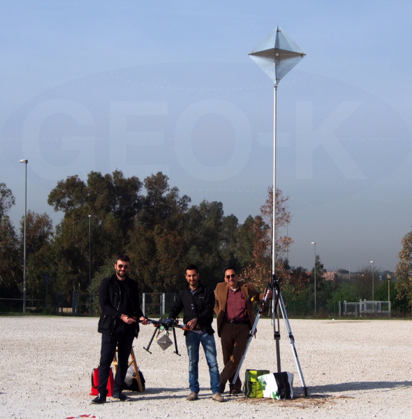
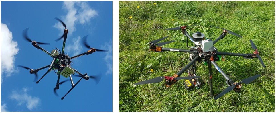
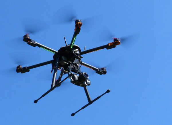
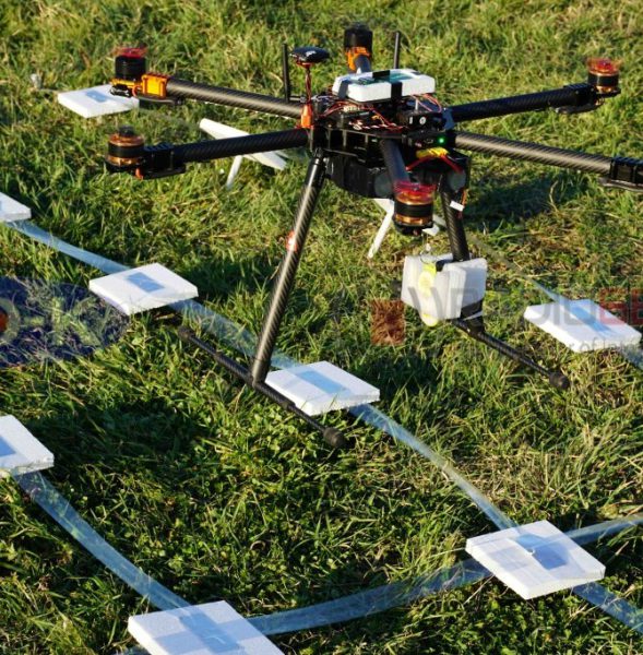
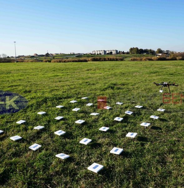
GEO-K, collaborating with the RADARLab of the Electronic Department of the “Tor Vergata” University, is performing drone’s visibility trials making use of its exa-rotor high-quality carbon fiber frame drone, an X-band radar and a corner reflector with known RCS. These tests are going to show the detection capability of Radar Systems, retrieving also the radiometric characterization of commercial drones.

The term “drone” is commonly used to indicate an unmanned aerial vehicle (UAV), or an aircraft which is remotely controlled by a ground-based operator. During the last years, drones have increasingly captured the interest of entrepreneurs and investors alike as a means to take over certain tasks, such as commercial, scientific, recreational and agricultural applications, surveillance services, product deliveries and aerial photography. Recently, the growing use of drones also among common people is due to the possibility of purchasing them at a lower price, increasing concerns about their use. Last year, in fact, more than 3456 incidents involving drones were recorded, compared with only 1237 in 2015, PA news agency reported. Moreover, drones have been reported to be used for criminal purposes and illegal actions. The problem of how drones can be detected and controlled over a limited area is directly rising up. Radar sensors are suitable to detect big objects, but drones may also be seen.


GEO-K is recognized by ENAC for critic scenario operations

Monitoring flying operations with GEO-K drones. Not only uninhabited areas but also critic ones (e.g. urban areas, streets, etc).
GEO-K drones can fly over buildings to monitor architectural and artistic heritage, but also to measure electromagnetic fields and building structures.

The ENAC authorization (Rif.ENAC: 5315) has permitted to complete all the procedures to operate in different scenarios, thanks to GEO-K’s authorized pilots.

Contacts:
apr@geo-k.co
Ph. +39 06 7259 7734-7711
———————————–
GEO-K Srl, APR Division
Via del Politecnico, 1 00133 – Roma – Italy

RFIDrone: when a drone reads radiofrequency

The partnership between GEO-K and RADIO6ENSE aims to build up a system that exploits the paradigm of radiofrequency identification (RFID) and the potentialities of Unmanned Aerial Vehicles (UAV).

The RFIDrone project will be developed considering two main approaches: the first, named DroneReader, consists of a UAV hexacopter able to carry out autonomous missions in which the data transmitted by RFID are collected and used for creating thematic maps or for characterizing the object under analysis.  The second, named DroneTAG, consists of a UAV acting as a RFID, becoming itself a TAG with autonomous re-locating capabilities. In both cases, the system offers revolutionary potentials in the monitoring of structures pre- or post-event (bridges, buildings, dams), precision farming applications, surveillance, and logistics.